
Enjoy this lively Mumbai map? I create richly detailed illustrated maps for editorial and travel clients - let’s work together!
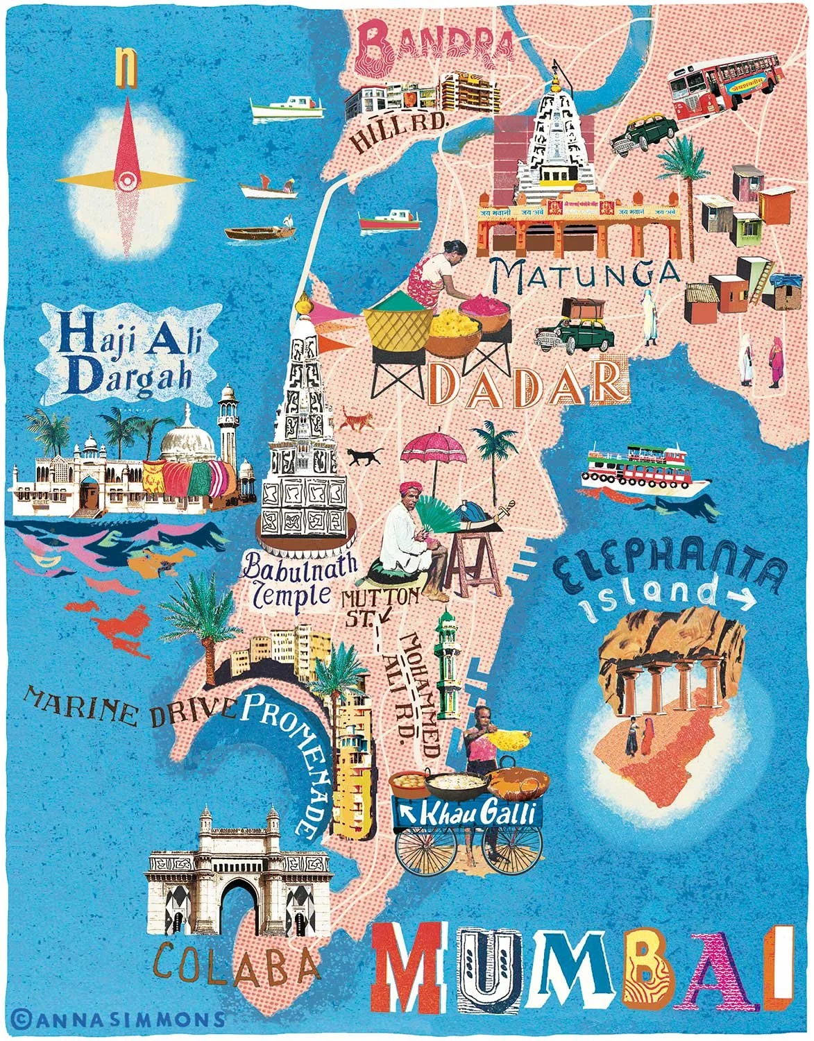
I created this illustrated map of Mumbai for National Geographic Traveller UK. It’s a lively exploration of areas such as Colaba, Dadar, and Bandra, along with landmarks like Haji Ali Dargah and Elephanta Island.
Figures fill the scene: people cooking, trading, arranging flower petals. I wanted to evoke Mumbai’s heat, energy, and visual overload in a celebratory way, so used layered textures and culturally inspired lettering. Alongside bold and clashing colours - hot pinks, spicy oranges, and electric blues—reflecting the city’s rhythm and contrasts.