
Love illustrated maps like this one? I create bespoke artwork for travel, heritage, and brand storytelling - let’s work together.
See more illustrated maps and design work in my portfolio.
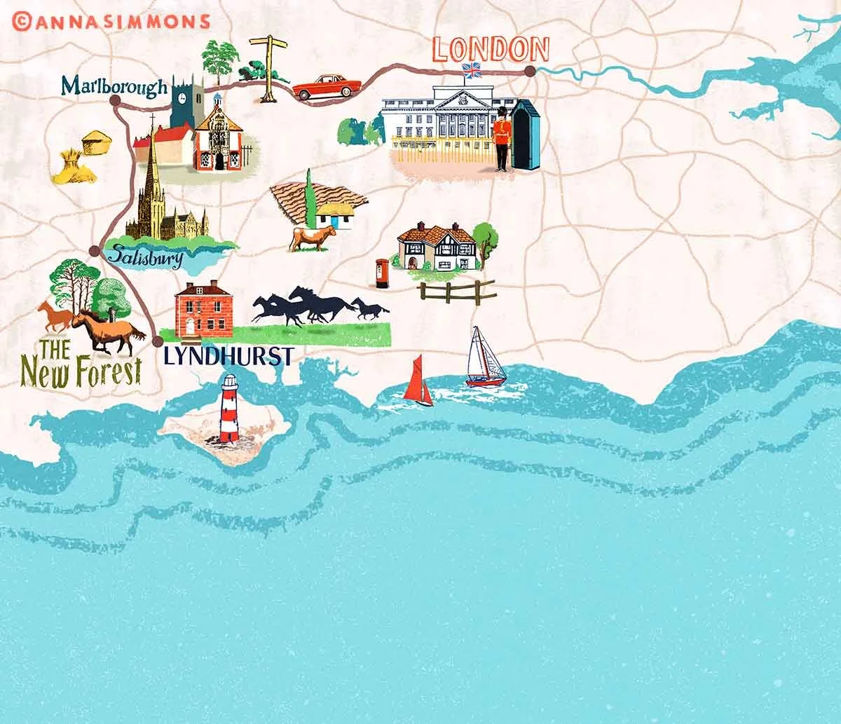
Map Making Illustration: South Downs Driving Route
This illustrated map traces a scenic driving route through the South Downs, starting from London and winding through Marlborough, Salisbury, and Lyndhurst. I used bold greens, hot reds, and a turquoise sea to give it energy and warmth, while keeping an overall that reflects the heritage of the locations. With a lighthouse marking the Isle of Wight to help anchor the southern edge. The aim was to capture both geography and atmosphere - useful as an editorial guide, but also enjoyable to look at in its own right