
Enjoy this map? I create custom editorial and location-based illustrations - get in touch to collaborate.
Map Making Illustration: San Juan Skyway Driving Route
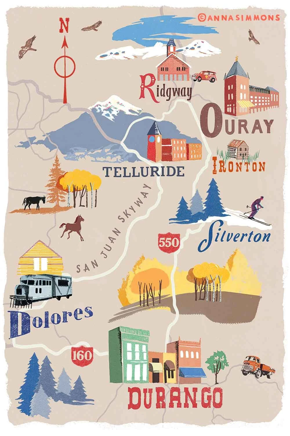
This illustrated map was created for an editorial feature about the San Juan Skyway, a scenic loop through the Colorado mountains. The route passes through Telluride, Dolores, Durango, Silverton, Ironton, and Ouray.
I focused on capturing the region’s autumn character, using warm yellows, oranges, and earthy browns for the trees and terrain, contrasted with cooler blues and purples in the mountains.