
Ohio Amish Country Map with Hand Lettered Numbering

Ohio Amish Country Map with Hand Lettered Numbering, created for an editorial feature.
When I was asked to illustrate this map, I assumed Amish communities were entirely private- and very unlikely places for tourists to visit. In fact, breaking down that common misconception turned out to be what the brief was about.
I knew that I had to visually explaining things in a different way - using my illustration skills. So to create this piece, I used warm colour, hand lettering, and human details to invite draw readers in and show a more open, friendly impression of the area.
Illustrated Depictions of Everyday Life
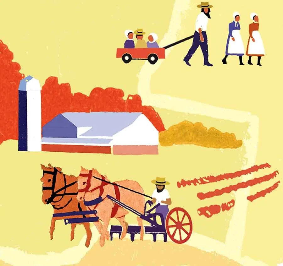
Horse-drawn ploughing and a family walk capture the slow pace of Amish life
Shifting Perceptions with a Splash of Colour
The design process involved piecing the districts together like fragments of a quilt, using bright but natural hues to reflect the homeliness of Amish life. I included visual elements like rolling hills, red barns, horse-drawn buggies, and traditional clothing- all layered in flat colour, hinting at the quaint simplicity of the culture.
The numbers were intentionally varied in style to evoke a playful, old-fashioned make-do-and-mend feel; reflecting the simple, homely aesthetics of these traditions, while still guiding readers clearly through the map’s points of interest.

A Day at the Races - Crowds and Bareback Riding
Little details—like the clustered crowd and hand-lettered 8—convey a sense of shared experience and help build narrative within the wider map
Visual Language and Emotional Resonance
This map is a visual guide, but also an invitation to discover a well-kept-secret destination. It reflects my broader approach to cultural, geographic, and research-led map illustration; the same thinking I bring to heritage, tourism, editorial, and institutional projects.
Let’s Chat!
Curious to see more of my illustration work? Explore my portfolio, and if you’re interested in commissioning a map or similar project, visit my map illustration services page to learn more.
I’m here to help you craft illustrations that clearly convey information, engage your audience, and bring your ideas to life.